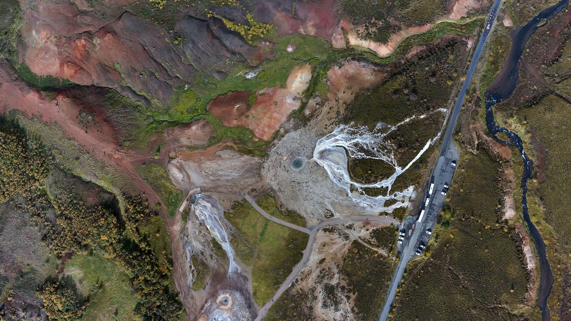
GIS and Digital Cartography
Digital cartography and geographic information services (GIS) bring site data alive on your computer screen. EFLA offers comprehensive GIS services, using a range of software and working seamlessly with diverse data formats.

Sustainable urban planning
At EFLA, we know that sustainable urban planning requires detailed data analysis. By using GIS software tools such as ArcGis, Qgis, Metashape, Autocad, and Microstation, we provide you with topographical maps and 2D and 3D analyses. Our work includes but is not limited to:
- Identifying potential wind power sites using advanced spatial modelling and data visualisation
- Visual Impact Assessments, including visibility analysis and photographic location consultation for photomontages within Environmental Impact Assessments
- GIS database management and data maintenance for municipalities on utilities, plots and structures
- GIS database management in planning projects such as master plans or regional planning
Data for urban planning
GIS tools and other innovative methodologies are advancing all the time. At EFLA, we stay informed of all such developments, using the latest software to help you model and understand the likely impacts and outcomes of your planning project. Our team has comprehensive expertise in all facets of geographic information management and data collection, processing and dissemination. Our data collection entails both imagery and vector data, while data processing involves a diverse range of analytical tools. The software we use allows for adaptable and versatile presentation of data, encompassing traditional reports as well as interactive web maps in both 2D and 3D formats.
Easing urban planning
EFLA uses digital cartography and GIS tools to ease the urban planning process. We’ll ensure your plans are always up to date with accurate data from a variety of sources, allowing for robust analysis. Plus, we’ll create easy-to-understand visual representations of your plans that you can share with your stakeholders and use to engage communities. It’s urban planning designed by experts, with everybody in mind.