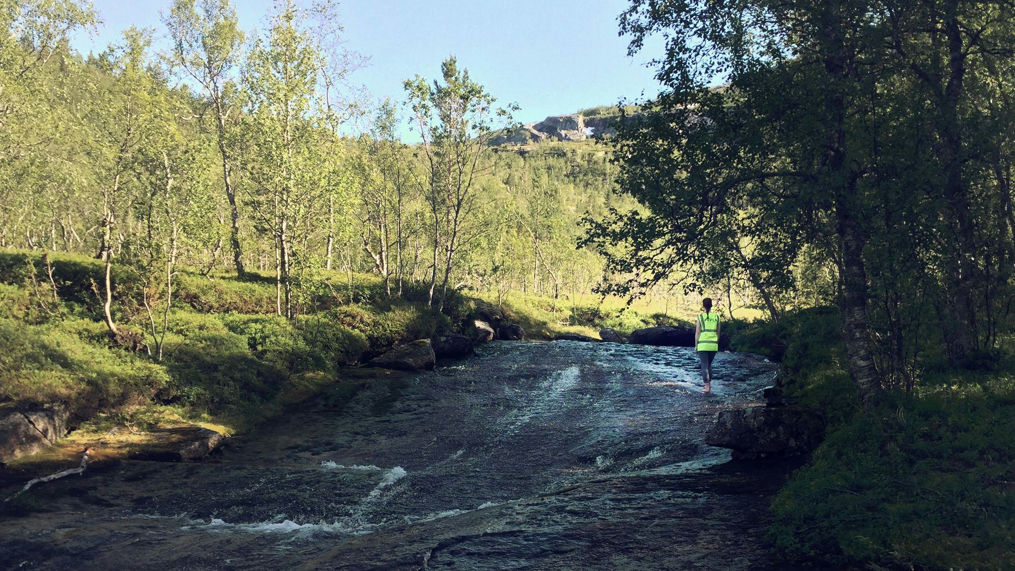
EFLA did a flood and waterline report with calculations in 16 waterways in North-Norway. The report included cross-sectional measurements and erosion assessment.
The project's objective
The project was done in connection with the new E6 highway between Megården and Mørsvikbotn in Sørfold municipality, and included calculating flood events with a return period of 200 years with a corresponding waterline in a total of 16 points. The project also included an assessment of the need for erosion protection and suggestions for stone sizes.
Environmental issues
- Flood height
Calculation of flood height was part of the project
EFLA's role
- Calculations of design flood events with a return period of 200 years.
- A flood rate analysis using NVE's program Hydra 2 and the logical equation.
- Flow rate calculations.
- Sizing of culverts under roads and bridges.
- Calculation of flood height.
- Description of erosion protection measures.
- Surveying of the waterways.
- Surveillance of soil operations to protect natural waterways.
 1 / 3
1 / 3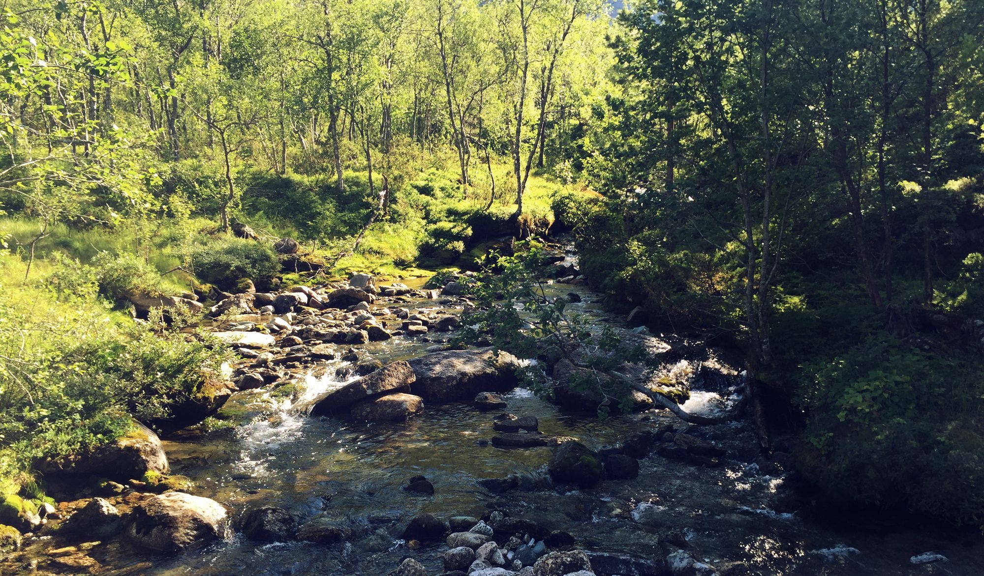 2 / 3
2 / 3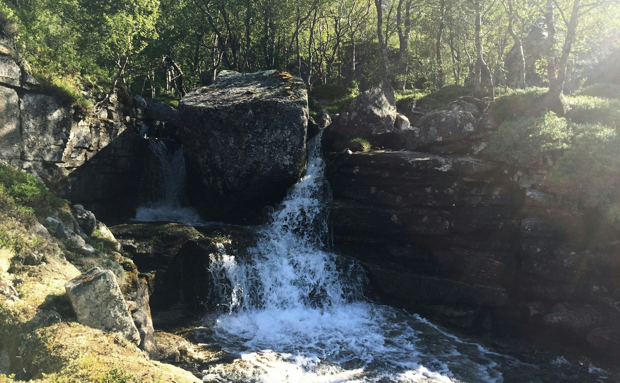 3 / 3
3 / 3
The Project's long term benefits
Bridges and culverts are size-determined with respect to floods with a return period of 200 years, ensuring road safety and contributing to the road being protected against flood damage.
Contact our experts