
EFLA's photogrammetry and drone specialists were recently on location at the volcanic eruption on the Reykjanes peninsula in Iceland. The purpose of the trip was to fly a drone over the area and capture images that would then be turned into a 3-D model of the area.
3-D model
The active area has generated a lot of interest both in Iceland and abroad and geologists from all over the world are monitoring the situation closely. Data is being collected on a grand scale and drones play a big part in that operation. Drones can watch for changes in the lava field as well as capture images that are then be turned into information that give a clear image of what‘s going on at any time.
The 3-D model that was generated by EFLA Consulting Engineers can be viewed from a browser and it's easy to rotate the model and zoom in and out using a mouse or any kind of trackpad.
Use of drone to capture images
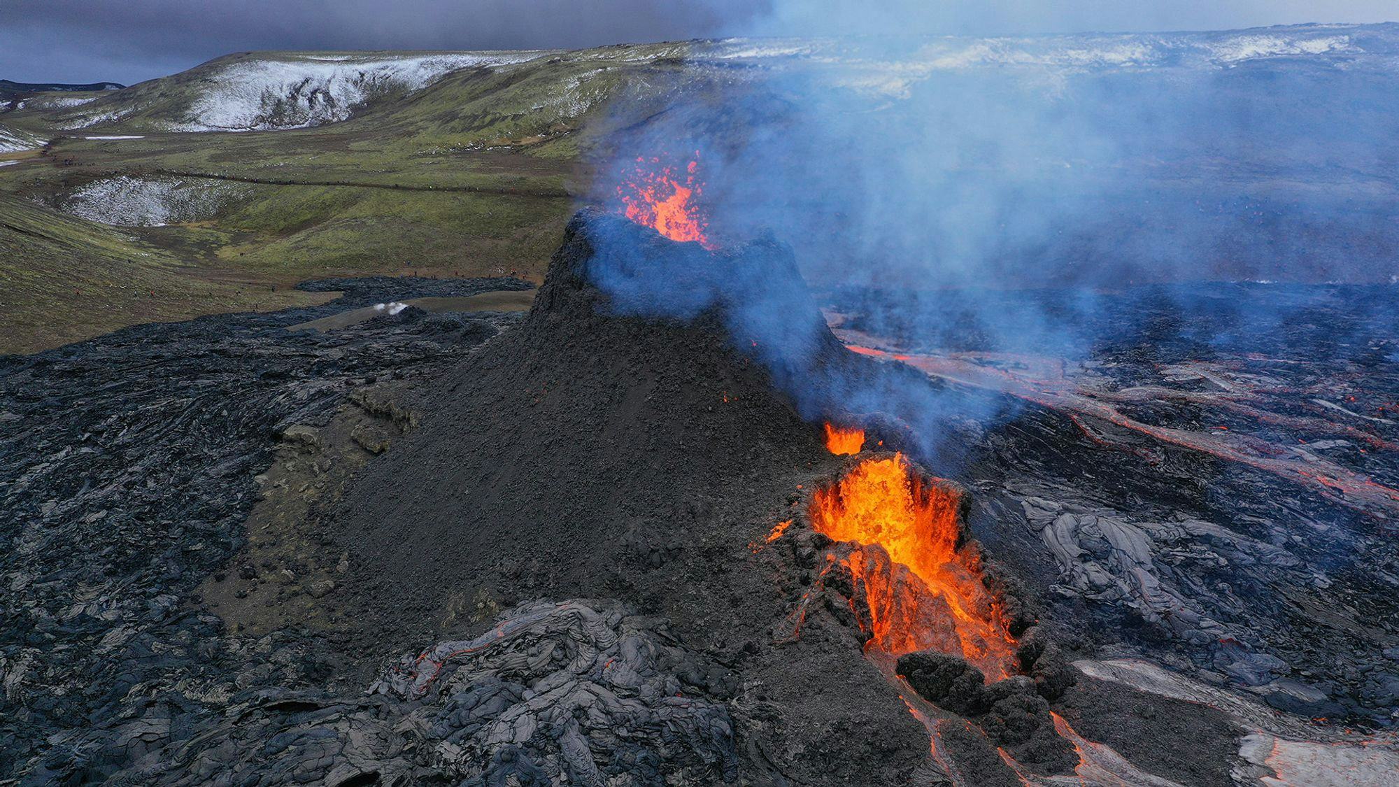
EFLA's specialists used a drone to circle the lips of the volcano from a safe distance and capture the images of this awe-inspiring event. The conditions for photogrammetry were generally favourable, although the volcano was obscured by the plume from time to time.
EFLA provides services in the field of map making and photogrammetry.
 1 / 3
1 / 3Gasses can easily build up around the eruption, causing dangerous conditions, so caution is advised.
 2 / 3
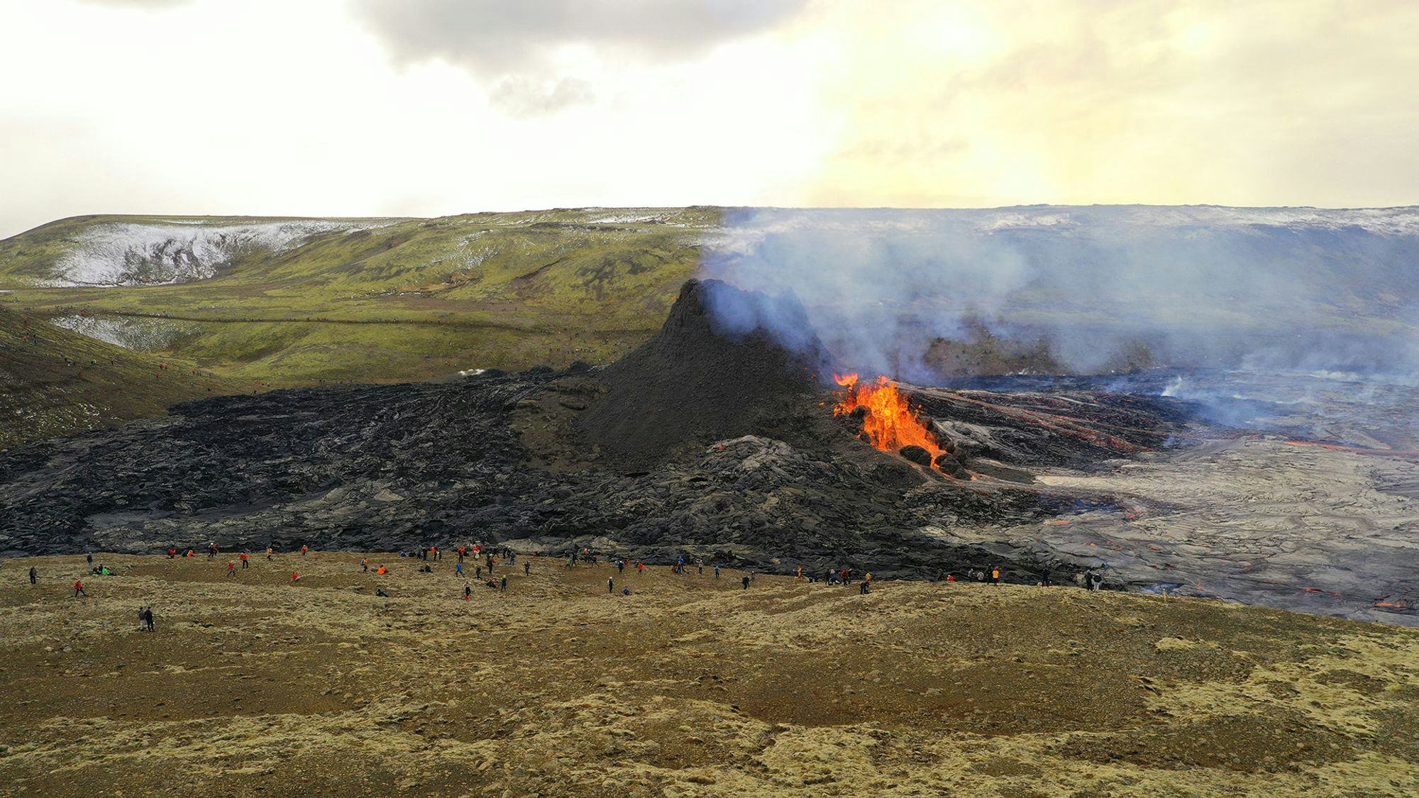
2 / 3A large crowd of spectators gathers around the eruption
 3 / 3
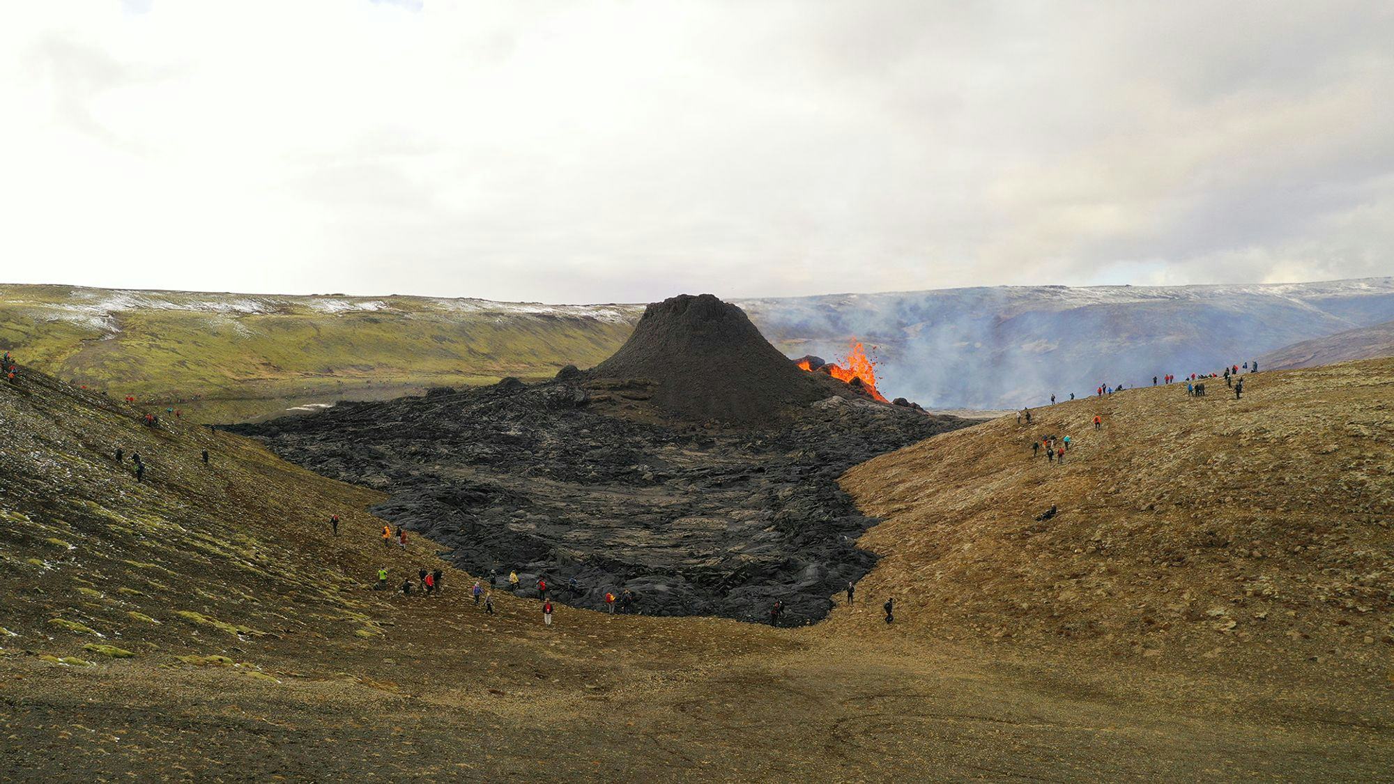
3 / 3Geldingadalir has seen a big change since the eruption started on Friday the 19th of March, 2021.