EFLA's drone and survey team has completed the development of a detailed 3D model for Grindavík, commissioned by the Natural catastrophe insurance of Iceland. To explore the model, simply click on "View in 3D" below.
A crucial resource
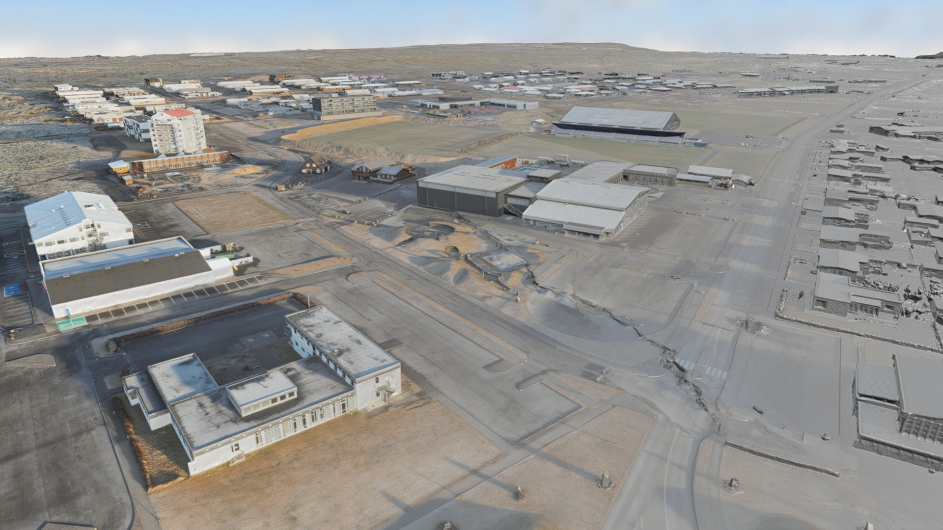
These advanced models serve as a crucial resource, offering reliable insights into the condition of real estate and structures within Grindavík. Particularly vital in the aftermath of the seismic events that shook the region starting on November 10, the models are instrumental in damage assessment.
To capture the most accurate representation of the town's condition, over 60 drone flights were strategically deployed over Grindavík. From a vantage point of 200-300 meters above ground level, the entire town was meticulously photographed, including specific areas with visible cracks, enhancing clarity and precision.
While attempts were made to photograph the town using a thermal camera to identify potential damage to the underground pipes, the success of such efforts hinged on ground conditions that were not conducive at the time.
Commencing in mid-November, the project's execution involved extensive drone flights and detailed data processing. Now accessible, this dataset offers a thorough overview of Grindavík's present condition, anticipating that the information will be valuable for various agencies in their efforts.
3D Model